Columbia Valley: the farm valley south of Cultus Lake
A note from me: I’m Bronson Job, a REALTOR® (PREC) with Momentum Realty Inc., so I earn a commission when I help someone buy or sell. These guides are general information, not advice on your specific situation, and I take no payment from any third party named in them. How I verify.
Columbia Valley is the flat farming valley that runs south from Cultus Lake to the Canada–United States border. It is not part of the City of Chilliwack. It is regional district land, Electoral Area H of the Fraser Valley Regional District, and most of it sits inside the Agricultural Land Reserve. That one fact explains most of what follows: how many homes a parcel can carry, whether it can be split, and whether it can host a wedding. This guide sets out the rules, the services and the hazards from the public record, so a buyer or an owner knows what to look up for a parcel.
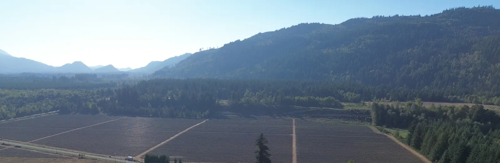
Where it is
The valley is small, and a single highway is its only public connection to the rest of the Fraser Valley. That shapes its farms, its emergency planning and its daily life more than any other fact about it.
- South of Cultus Lake, to the border
- Columbia Valley Highway is the single road into the Cultus Lake area, and it also serves the farming community at the end of Columbia Valley Road. South of the lake the road runs to the Canada–United States border. No road crosses it.
- Regional district land, not City land
- The Fraser Valley Regional District (FVRD) split the old Electoral Area E in 2014. Electoral Area H now holds Cultus Lake, Lindell Beach and Columbia Valley, and borders the City of Chilliwack to the north. The area covers 121 km² and had 2,714 residents in the 2021 census. Columbia Valley itself counted 257.
- Homesteaded from 1888, farmed for dairy, then berries
- The community plan records homesteading from 1888, with settlers arriving through the United States. Large-scale logging came in the 1910s and 1920s, then dairy and mixed farming in the 1930s and 1940s. Hydro reached the valley in 1956 and the road around Cultus Lake was paved in 1957. In the 1980s the valley had ten intensive swine farms; the plan says four were running in 1993 and that they have since declined. The plan now describes more grapes, hops and berries.
- One road in and out
- The highway is a two-lane road about 7 to 8 m wide with narrow shoulders. Grades run about 4%, with stretches of 10 to 12%. It carries about 12,000 vehicles a day, and the FVRD puts the summer peak near 15,000. There are no traffic signals, but there are roundabouts at Vedder Mountain Road and Sunnyside Boulevard. A crash or a slide on the road causes long delays. In an emergency, traffic can be sent north through Soowahlie First Nation, but only when Soowahlie authorises it.
- Distances by road
- From the Columbia Valley fire hall (1202 Kosikar Road), without traffic: about 12 km and 17 minutes to Sunnyside Boulevard at Cultus Lake, and about 22 km and 32 minutes to Chilliwack City Hall. Summer weekends add time on the highway.
Drive times use OpenStreetMap road routing with no traffic. The history comes from the regional district’s 2011 community plan, which points to Howard Cramer’s The Valley Beyond: A History of Columbia Valley & Lindell Beach (2005) for the full story. For the upland on the other side of Chilliwack, see the Ryder Lake guide.
What the land allows
AG-1: Agricultural 1
The valley’s Reserve farmland is almost all zoned AG-1 under the regional district’s Zoning Bylaw 1638, a zone “for Farm and Residential Use on lots at least 4.0 ha in lot area.” The Reserve sits on top of it. The zone says what the regional district allows. The Land Commission decides what the Reserve allows, and the stricter of the two wins.
- Principal uses
- Farm, Residential, Intensive Farm, Intensive Swine Operation, Kennel, Resource Extraction.
- Accessory uses
- Accessory Dwelling Unit, Accessory Personal Care Residential, Accessory Employee Residential, Bed and Breakfast, Home Occupation, Outdoor Storage, Produce Sales, Secondary Suite.
- Homes per lot
- One house. Plus one accessory dwelling unit, personal care residence or secondary suite (one in total).
- Minimum lot area
- 4.0 ha (about 9.9 acres). A lot has to be at least 8 ha to split in two.
- Setbacks
- 7.6 m at the front, sides and rear.
- Height
- 10.0 m for a house; 9.0 m for an accessory dwelling unit.
- Signs
- Up to 5.0 m² (54 sq ft) of advertising signage per highway that borders the lot.
Zoning Bylaw 1638, section 8.1. The regional district notes the consolidated copy is for convenience only. Confirm a parcel’s zone with the FVRD planning department.
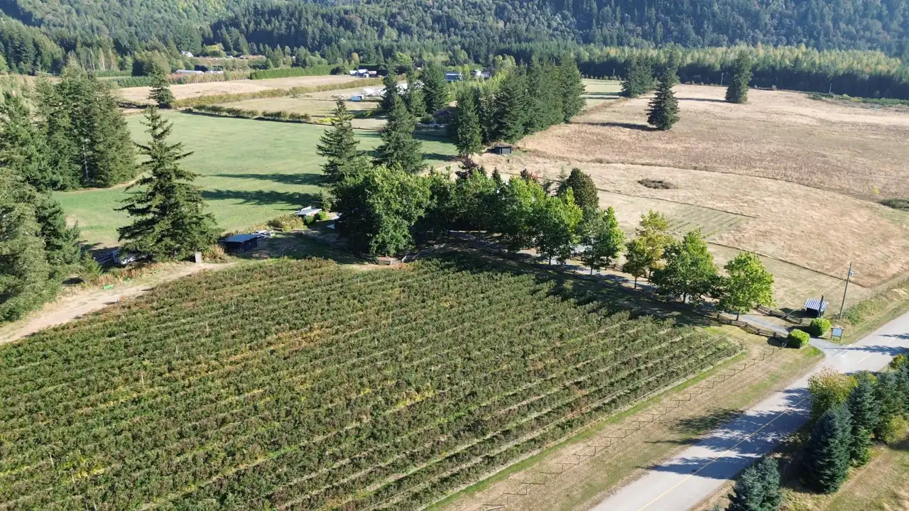
Farm land that is meant to stay farm land
The community plan says most of the valley is prime farmland in the Reserve, and that the Regional Board will preserve it. Check any parcel on the Land Commission’s free ALR map. Being in the Reserve is a separate fact from being assessed as farm, and the two are decided by different bodies.
- Class 2 land, with a caveat
- The community plan says most of the valley is prime farmland in the Reserve, rated Class 2 for agriculture by 1985 provincial mapping. Class 2 means some limitations that need moderate management. Residents told the FVRD the soil mapping is out of date and may not match conditions on the ground.
- Subdivision is discouraged
- The plan commits the Regional Board to preserving farm land in the valley by discouraging the subdivision of farms, incompatible recreation uses and rural residential subdivisions in the Reserve.
- Crops and farm uses
- The plan says the valley has shifted toward higher-value crops such as grapes, hops and berries, alongside livestock. Zoning allows one produce-sales building up to 80 m² (861 sq ft) on a farm, with signage. A bed and breakfast is allowed inside a dwelling: up to three rented rooms, stays under 21 consecutive days, run by a resident.
- Plant age and health
- A December 2023 report for the BC Blueberry Council, funded by the Province, surveyed growers. About two thirds of fields were healthy and almost 30% were diseased or damaged. About 20% of the healthy plants were nearing the end of their productive lives. The report put replanting at $15,794 an acre and found that 2023 returns did not cover the cost of capital on a replant. A field is a long-lived asset that ages, and its age is a question to ask.
- Farm class and its income test
- BC Assessment classes land as farm only when the farm operation earns a minimum gross income. For 0.8 to 4 ha (about 2 to 10 acres) the minimum is $2,500 a year. Above 4 ha it is $2,500 plus 5% of the farm value of the area over 4 ha. Below 0.8 ha it is $10,000. Farm class is not automatic. Check for your parcel: BC Assessment’s current deadline and what it will ask to see.
Two rulebooks, one smaller number
A second dwelling on a valley parcel has to satisfy the zone and the Land Commission at once. Family housing, a farm worker’s home or a rental all go through the same two tests.
- The regional district rule
- An accessory dwelling unit can be up to 95 m² (1,023 sq ft) on a lot of 0.5 ha or more, and up to 125 m² (1,345 sq ft) on a lot of 1.0 ha or more. It must use the same driveway as the house and sit within 30 m of it. Lots of 1.0 ha or more need onsite water and onsite sewer.
- The Land Commission rule on Reserve land
- The principal residence can be up to 500 m² (5,382 sq ft). One additional residence is allowed on a parcel of 40 ha or less, up to 90 m² (969 sq ft), if only one home exists when construction starts. A secondary suite has to sit inside the principal residence. A separate building cannot be a secondary suite.
- Which number wins
- The smaller one. On Reserve land the 90 m² (969 sq ft) cap sits under the zone’s 125 m² (1,345 sq ft). Where the two bodies differ, the stricter rule governs what can be built.
The right exists, and it depends on farm class
Holding weddings or other paid events on Reserve land is allowed without any application, if the farm meets six conditions. The rules come from the province, so the valley’s zone does not add to them or remove them.
- The zone does not list events
- AG-1 does not name weddings or events as a use. The ALR Use Regulation lets them happen anyway, and a local government may not prohibit an event that meets the conditions. The FVRD can still regulate structures, parking, hours, noise and fire access.
- The six conditions in the ALR Use Regulation
- The land is classified as a farm under the Assessment Act. No permanent facilities are built for the event. Parking is on the land, is not permanent and does not hurt crop production. No more than 150 people attend at one time, not counting residents and farm employees. An event lasts under 24 hours. No more than 10 events of any type happen in a calendar year.
- Permanent means more than a building
- Policy L-22 lists buildings, hard-surface parking, concrete pads, retaining walls, tents up for more than 90 days, and landscape changes such as fill, gravel or berms. Converting an existing building to meet public assembly code also counts.
- Farm class carries the right
- The ALC says the use is allowed provided the land is assessed as farm, and that if the assessment changes the use is no longer permitted. An event right and a farm-class assessment stand or fall together.
In the ALC’s words: “If the assessment changes, the use is no longer permitted.” (Policy L-22.)
Services, and what the land can take
A valley parcel runs on its own well, its own septic field and one long road. Each of those is worth checking before buying, because none of them is supplied by a utility that keeps a public record for the parcel.
- Water is mostly groundwater
- The community plan says most households in Areas E and H rely on groundwater. The regional district’s 2026 wildfire plan counts over 160 wells in Columbia Valley, four hydrants, two private water utility companies and a private network of licensed waterworks.
- The aquifer under the valley
- The Columbia Valley aquifer flows toward Cultus Lake. The plan classes it as highly transmissive and says it supplies residents, irrigation and livestock. A 2000 provincial study found small pockets of nitrate linked to manure storage and spreading. Follow-up testing showed levels falling after manure practices changed. The plan says no new drinking-water concerns have emerged since.
- Irrigation can need a licence
- Under the Water Sustainability Act, groundwater used for non-domestic purposes, which includes irrigation, needs a licence. Household use does not. A berry field watered from a well is irrigation. Licences carry a priority date, so older ones come first in a shortage. Check for your parcel: the provincial water licence and application layers show whether one is on record, and FrontCounter BC can say what applies.
- Septic, not sewer
- The 2026 wildfire plan lists sewage treatment plants at Cultus Lake North and Cultus Lake South and none in Columbia Valley. Homes in the valley use onsite septic systems. The community plan notes that in rural areas wastewater and drinking water often share the same aquifer. Check for your parcel: a filed record of the sewerage system, with its type, date and last pump-out.
- Natural gas, internet and cell service
- The community plan states that the Regional Board supports extending natural gas to Columbia Valley, and asks for better high-speed internet and cell service across Areas E and H. That wording dates from 2011. Check for your parcel: current gas, internet and cell coverage at the address with each provider.
- Fire, ambulance and police
- The Columbia Valley Volunteer Fire Department runs Fire Hall #1 at 1202 Kosikar Road. The evacuation guide says there are no ambulance stations or Royal Canadian Mounted Police detachments near Cultus Lake. It adds that volunteer fire crews are often first on scene, and that the distance from Chilliwack and the traffic may slow other responders.
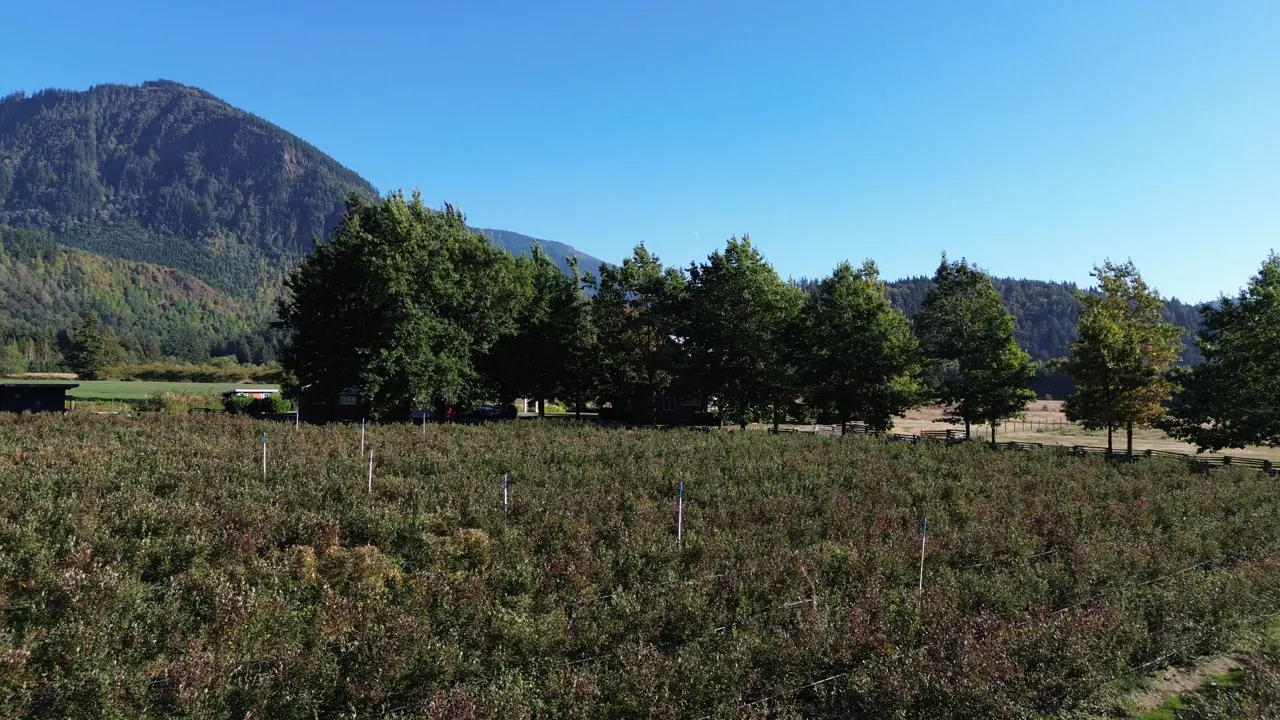
What the regional district has mapped
The regional district’s own reports name the valley’s limits plainly: one road, steep walls and hazards that move fast. Most of it is knowable before you commit.
- Flood
- The 2023 Hazard Report says there is no provincial floodplain mapping for Cultus Lake and that lakeside property can be susceptible to lake flooding. It names flooding of the Chilliwack River, north of Area H, as a hazard to the Vedder Bridge, which gives access to Chilliwack. It maps flood and debris-flood hazard on the Frosst Creek and Watt Creek fans at Lindell Beach and Leisure Valley. The Area H section does not single out the valley floor. Check for your parcel: the FVRD web map’s flood, debris and geohazard layers, and the provincial floodplain maps.
- Slopes and slides
- The valley is flat, with steep forested walls on both sides. The Hazard Report lists debris slides and flash flooding after heavy rain as fast-acting local hazards. In March 2017 a shallow debris slide in the Frosst Creek watershed followed heavy rain and did not hurt property. Rock slides and rock avalanches are mapped on the slopes around Cultus Lake. Parcels at the foot of a slope carry more risk than parcels in the middle of the valley.
- Earthquake
- The valley north and south of Cultus Lake is mapped as moderate to high liquefaction hazard near the lake, falling to low further away.
- Wildfire
- The FVRD’s March 2026 wildfire plan rates Columbia Valley’s wildfire risk as moderate. The provincial threat rating is moderate to high, and the local threat is low, because valley-bottom farming breaks up the fuel. The 2023 Hazard Report cites a 2020 fire-behaviour assessment that called the threat moderate to extreme, and notes that recreation can raise the risk of human-caused fires.
Living here
- School
- The valley falls in School District 33 (Chilliwack). Cultus Lake Community School is at 71 Sunnyside Boulevard. The district’s high schools are in Chilliwack. School catchments change, so confirm the current boundary for an address with the district.
- Recreation next door
- Cultus Lake Provincial Park was created in 1948 and now covers 2,729 hectares, including the International Ridge Recreation Area. Cultus Lake Park, the lake and the water park are at the north end of the highway.
- Neighbours who farm
- AG-1 permits intensive farms, including intensive swine operations, so a lot next door can host more than hay or berries. The community plan asks farmers to follow best practices when spreading manure and burning waste, to limit smoke and fine particles in the air.
- Defence land
- The Department of National Defence bought land in the valley in 1975. It is still used for field training exercises. The community plan says there are no plans for ranges and records strong local opposition to any expansion.
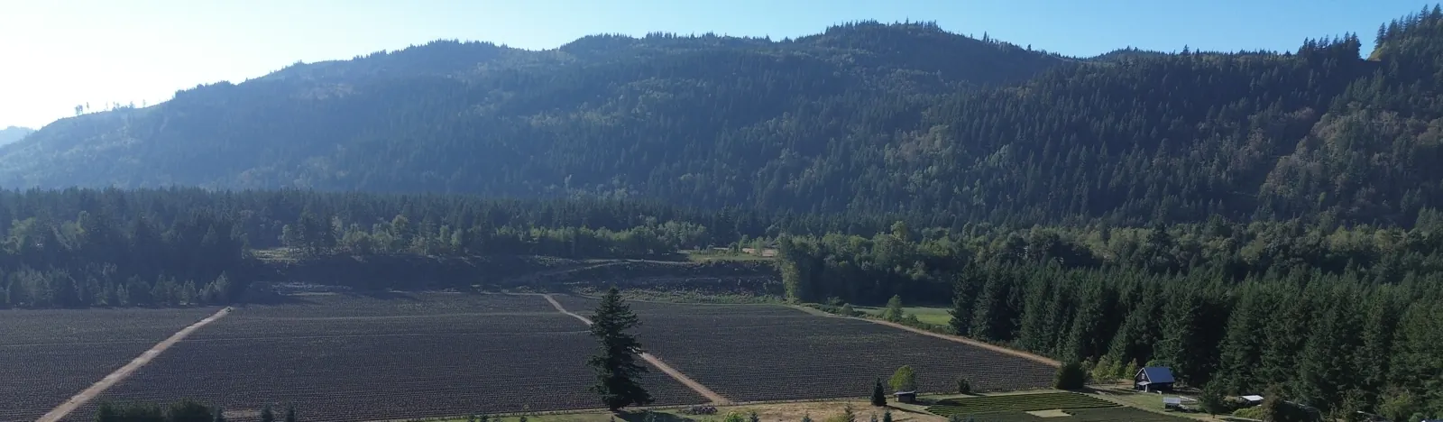
Five lookups, all free
The ALC map for Reserve status.
The FVRD web map for zone, hazard layers and any development permit area.
The BC Assessment record, to see whether the land is classed as farm.
The provincial well, water licence and aquifer records in the province’s groundwater wells database.
The title and any charges registered against it, from a lawyer or notary.
Common questions about Columbia Valley
Is Columbia Valley part of Chilliwack?
No. It is in Electoral Area H of the Fraser Valley Regional District, south of the City of Chilliwack. The regional district sets the zoning, issues building permits and plans the land use. The City of Chilliwack does not. Source: FVRD Official Community Plan Bylaw 1115, s.1.3, and the FVRD Electoral Area H page.Can I subdivide a Columbia Valley parcel?
Probably not. The AG-1 zone sets a minimum lot area of 4.0 ha, so a parcel under 8 ha cannot be split in two. In the Reserve, subdivision also needs Land Commission approval, and the regional district’s plan says it discourages the subdivision of farms. Source: FVRD Zoning Bylaw 1638, s.8.1.4; Bylaw 1115, policy 5.1.1.How big can a second home be?
In the Reserve, 90 m² (969 sq ft), detached from the main home and only if one home exists when construction starts. The zone alone would allow up to 125 m² (1,345 sq ft) on a lot of 1.0 ha or more, but the stricter Land Commission cap applies. A secondary suite must sit inside the main home. Source: ALC, Housing in the ALR; FVRD Zoning Bylaw 1638, Accessory Dwelling Unit regulation.Can I hold weddings on a Columbia Valley farm?
Yes, within limits, and only while the land is assessed as farm. The limits are 150 people at a time, under 24 hours, 10 events a year, no permanent facilities, and parking on the land that is not permanent. Local government may still regulate buildings, parking, hours, noise and fire access. Source: ALR Use Regulation s.17 and ALC Policy L-22.Do I need a licence to irrigate from a well?
Yes for irrigation, no for household use. Groundwater used for non-domestic purposes needs a licence under the Water Sustainability Act. Using a household well for the home does not. Source: Province of BC, New requirements for groundwater users.Is there municipal water or sewer in the valley?
No public sewer is listed for Columbia Valley, and water comes mostly from private wells. The FVRD’s 2026 wildfire plan counts over 160 wells, four hydrants, two private water utilities and a private network of licensed waterworks. Source: FVRD Community Wildfire Resiliency Plan, March 2026.Does the valley flood?
The Hazard Report notes no provincial floodplain mapping for Cultus Lake, and that lakeside property can flood. It names Chilliwack River flooding as a risk to the Vedder Bridge, the access to Chilliwack. It does not describe the valley floor as flood-prone. Check the FVRD’s hazard layers for a specific parcel. Source: FVRD Hazard Report, 19 October 2023.What does cultivated farmland cost on the South Coast?
Farm Credit Canada put the average at $104,600 an acre for 2025, down 7.4% on the year, with 90% of sales between $68,900 and $189,000. That is farmland across the South Coast region and does not value any one parcel or any house. Source: Farm Credit Canada, 2025 Farmland Values Report, 24 March 2026.
- · FVRD Electoral Area H. communities, population and services.
- · FVRD Official Community Plan Bylaw 1115. Areas E and H (2011): sections 1.3, 2.1, 5.1, 6.1, 8.5 and 12.1.
- · FVRD Zoning Bylaw 1638. AG-1 is section 8.1. The consolidation used here runs to amending Bylaw 1835 (28 May 2026) and is for convenience only.
- · FVRD Evacuation Guide, Electoral Area H. published 1 November 2024: population, road, traffic and emergency services.
- · FVRD Hazard Report. published 19 October 2023, with a section on Electoral Area H.
- · FVRD Community Wildfire Resiliency Plan. March 2026: wells, hydrants and wildfire ratings.
- · ALC: Housing in the ALR. principal residence 500 m² (5,382 sq ft), additional residence 90 m² (969 sq ft).
- · ALC Policy L-22. gathering for an event in the ALR, amended October 2021, with ALR Use Regulation sections 14 and 17.
- · Classification of Land as a Farm Regulation, B.C. Reg. 411/95. the gross income test is in section 5 of the Classification of Land as a Farm Regulation, subsection (4).
- · Province of BC: new requirements for groundwater users. Water Sustainability Act licensing.
- · Farm Credit Canada: Farmland Values Report. the 2025 report, published 24 March 2026.
- · BC Blueberry Council: Perennial Crop Renewal Program report. Scott A. Beaton Professional Corp., 21 December 2023, funded by the Province.
- · Columbia Valley Highway. route and border end. A general reference, so treat it as secondary.
Read on 2026-10-12. General information, not planning, legal or tax advice. The community plan is from 2011 and some of it is dated. Rules change and every parcel differs, so confirm a parcel’s specifics with the FVRD, the Land Commission and BC Assessment before relying on anything here.
Keep reading
- Ryder Lake, Chilliwack — the upland on the other side of Chilliwack, inside the City
- Buying ALR acreage in the Fraser Valley — the wider what-to-check on Reserve land
- RU-1 acreage in Langley — the same Reserve rules under a Township zone
- Chilliwack real estate — the city and its sub-areas